|
|
|
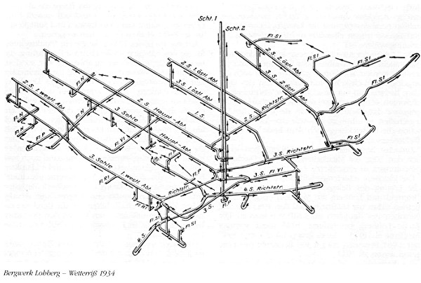
A map for leading the air from 1934 ! |
|
Special thanks to Arno Hoffmann for sending me the CD with the photos. If the - pitily unknown - photographer does not want the pictures to be published here, please send me an e-mail. |
|
|
|
A map for leading the air from 1934 ! |
|
Special thanks to Arno Hoffmann for sending me the CD with the photos. If the - pitily unknown - photographer does not want the pictures to be published here, please send me an e-mail. |